Drone Portfolio

Drone Volume Surveys

City of Wausau – Wastewater Treatment Facility
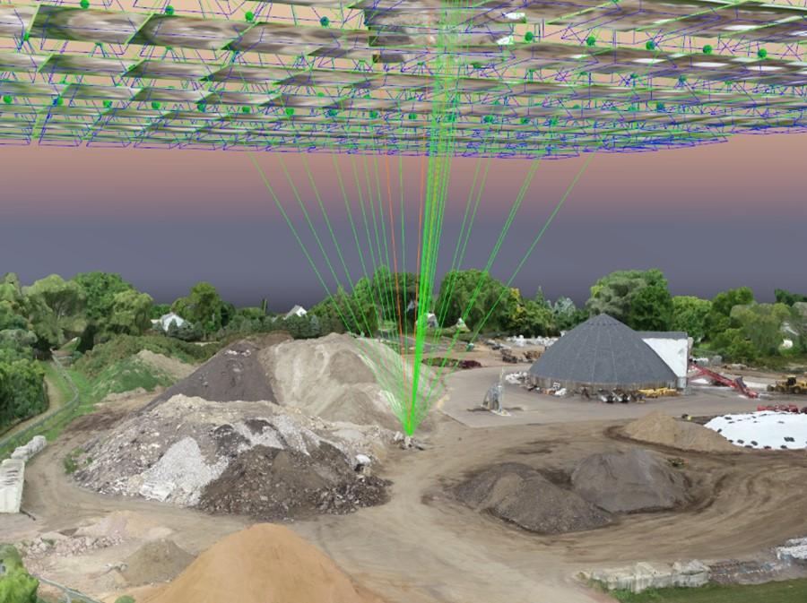
Drone Volume Surveys - City of Wausau – Wastewater Treatment Facility

General Information

Becher Hoppe partnered with other industry leaders in aid of construction oversite at the Wastewater Treatment Facility in Wausau Wisconsin.  Part of Becher Hoppe’s duties were to determine volumes of stockpiles and excavation volumes of materials while the site was under construction.  Because of large piles and rapidly changing conditions it was determined that drones utilizing a real time kinematic (RTK) GPS and photogrammetry were the safest and fastest way to capture this data.

Services Provided

  • Ground Control Points – or GCPs of known locations from prior surveys were used to validate and confirm the measurements collected by Unmanned Aerial System for these flight missions.
  • Topographic Survey – Raw data was collected of the site utilizing a drone equipped with real time kinematic (RTK) GPS equipment.  A digital terrain model was then generated utilizing the corrected GPS images and photogrammetry.
  • Volume Analysis – Earthwork comparisons were then completed using the drone data and prior traditional surveys to determine the volume of the stockpiles and excavation limits on site.  This provides the owner and the contractor with accurate volumes with no guess work on how much material is actually on site or needs attention.
  • Oblique Photography – Oblique photos provided and unique and valuable perspective during the construction process and added in monitoring the ever-changing conditions of the construction site.