Survey
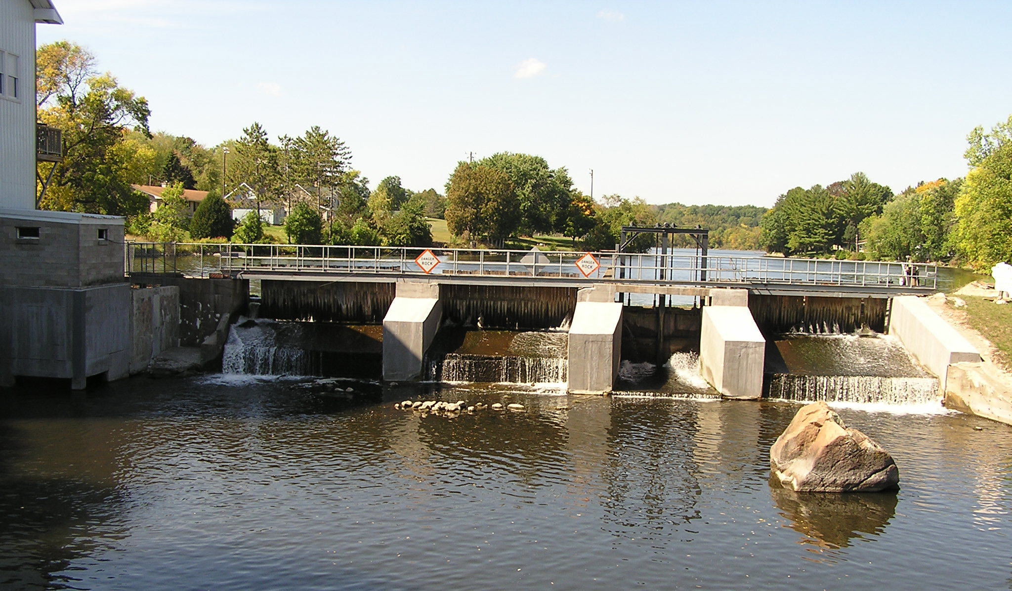
Topography
All great designs start with a quality existing topography model collected by our survey crews. Topography surveys or "topos" for short, consist of collecting information that accurately portrays the existing conditions reflected on any site. Usually, a good topo is the first step in addressing drainage and flooding issues around homes, garages, and other buildings. Since we are blessed with an abundance of lakes, rivers and streams in Central WI, we also offer bathymetric surveys to map underwater conditions as well as hydraulic and hydrologic surveys if your project interacts with a water body. We have the latest Trimble GPS Units, Robotic Total Stations, and data collectors to generate this information in the most efficient manner.
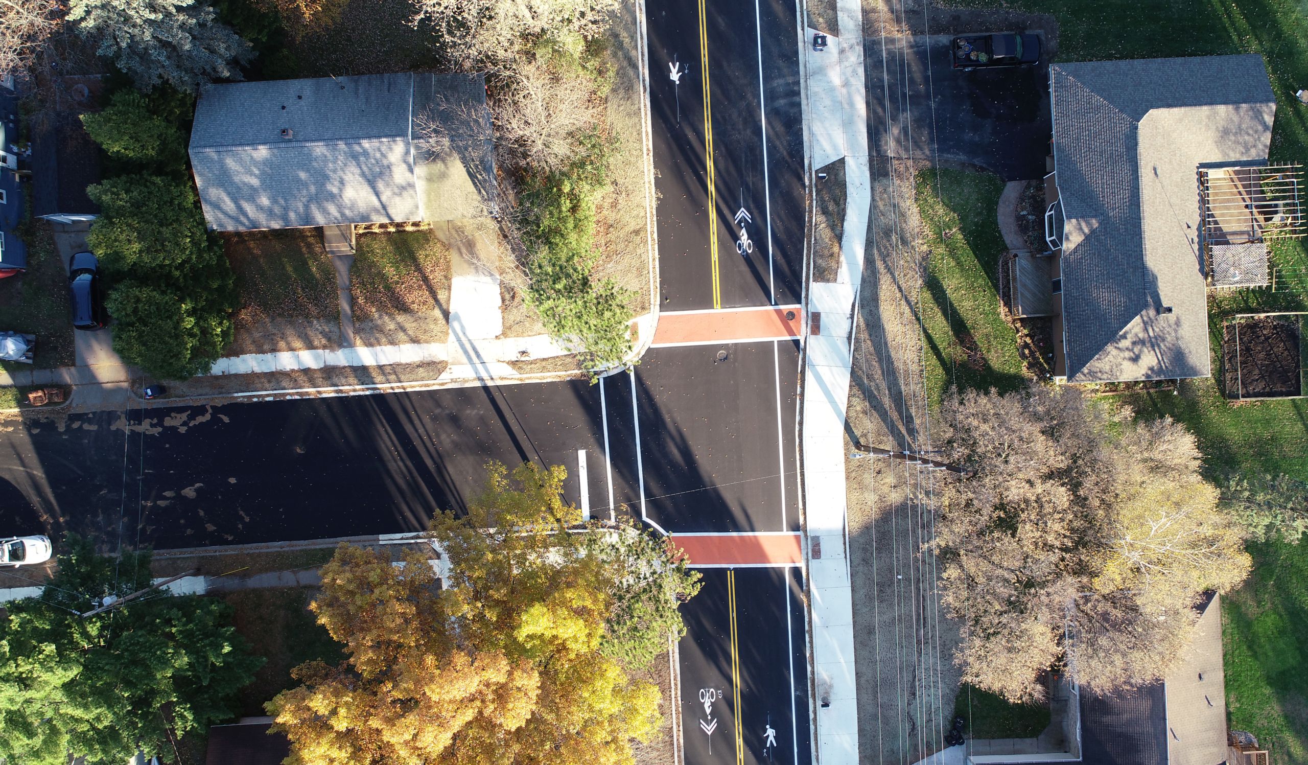
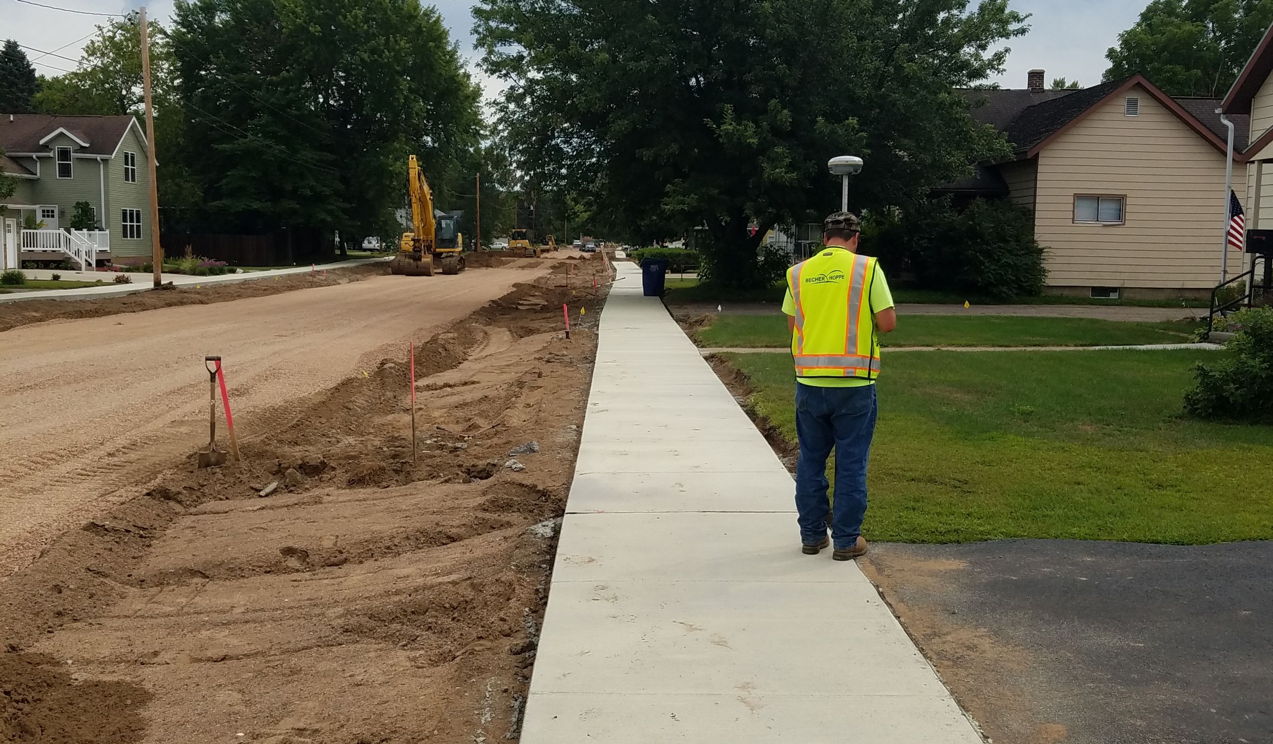
Construction Staking
Construction staking plays a crucial role in making a project successful. Our experienced staff works with the project representative and construction team to make sure information that was designed gets relayed accurately to the contractor. We work directly with contractors as well. Construction contracts requiring contractors to procure their own staking for items like base course, watermain, sanitary sewer, curb & gutter, and the like are becoming more common. We have expanded our construction staking services to several Wisconsin contractors, all of whom have been impressed with our timely responses and self-sufficient nature. Whether it’s establishing subgrade elevations, working with Automated Machine Guidance (AMG), or checking bid quantities, our staff has experience with it all.
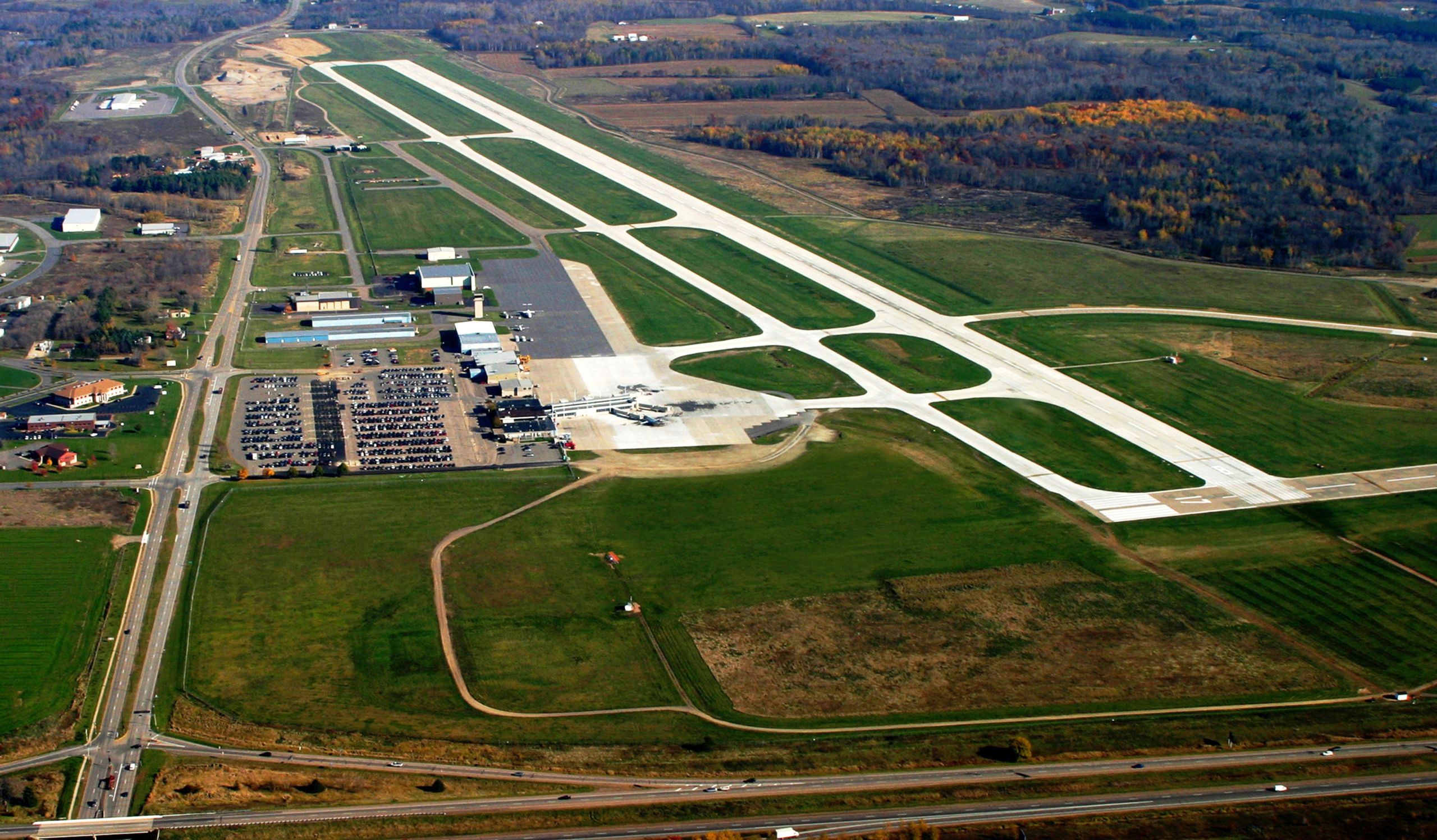
Drones
With Becher Hoppe's experience around aviation and knowledge of FAA regulations, drones were a natural fit with our staff and projects. Whether we are simply collecting project photos, generating orthometric mosaics using photogrammetry, or collecting data for topography models, drones have become another great resource for our staff. They help us see things in a different way and get to areas we could not reach with traditional survey equipment. Inquire with our staff on services like aerial photos, stockpile volumes, material asset management, or general survey needs.
Boundary
Are you working on a building permit for a new home, an addition to your current home, or even a garage or storage shed? Perhaps you’re installing a new septic system or simply building a fence. These scenarios are just a few of many that require knowing your property boundaries. Most local communities have ordinances with zoning setbacks for such improvements and for subdividing land. Some landowners might just be curious of their boundary locations and want them marked or staked. Becher Hoppe’s experienced surveyors are ready to meet with you and determine the best approach to your unique boundary survey needs. Whether it’s a certified-survey-map (CSM) or plat of survey, Becher Hoppe has the capability to meet your needs when it comes to your property boundaries.
Floodplain
Flood insurance is a costly item for some homeowners, but many people are overpaying for their policies. Insurance companies assign flood insurance premiums based on flood insurance rate maps or (FIRMs). A survey providing updated elevation mapping could prove a lower flood risk, saving a homeowner thousands of dollars. Becher Hoppe wants to meet with you and discuss how we can help you save money on flood insurance.
ALTA Surveys
When purchasing commercial real estate, its often necessary to complete an ALTA (American Land Title Association) survey in order to receive title commitment. This is a survey completed based on standards set forth by ALTA and NSPS (Nation Society of Professional Surveyors). In addition to establishing property boundaries and recording topographic data, the ALTA survey process exposes easements or interests in the property unknown to the buyer or even the seller. Whether you’re a developer or embarking on a small business venture, Becher Hoppe is in your corner and ready to tailor an ALTA survey project that fits your needs and satisfies other stakeholders in your transaction.
Easements
Easements allow one party to access or use another’s property in an agreed upon manner specified in legal documentation. There are many purposes for developing easements. Some common easements allow a municipality to install or operate water or sewer utilities, energy companies to operate transmission lines, neighbors to share driveways, and commercial properties to convey stormwater along a property line. Reach out to the Becher Hoppe team to get started developing the legal description and map exhibit for your easement today.
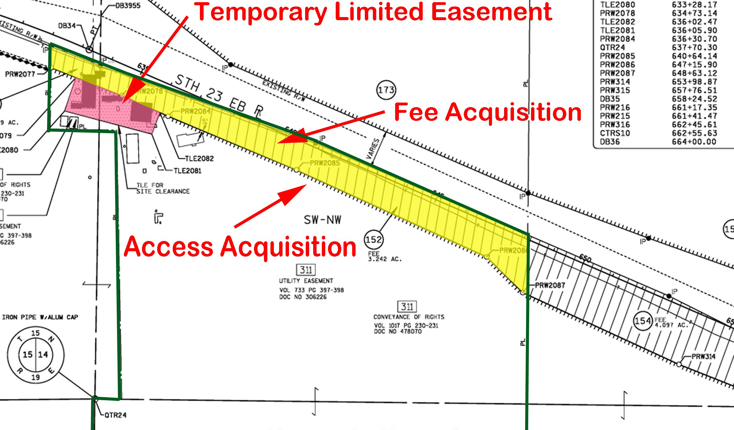
Right-of-Way
When government entities administer a project to improve roadways or trails, there often is not enough space to construct the improvements within the current government owned right-of-way. In situations like this, there are many structured processes that must be followed to purchase additional right-of-way from adjoining land owners. Becher Hoppe’s surveyors can produce a variety of mapping documents to accompany the real estate process on a right-of-way acquisition project such as right-of-way plats and transportation project plats (TPP).
PLSS Maintenance Projects
County governments often acquire surveying firms to perform maintenance work on the government PLSS (Public Land Survey System) corners in a township or portion of a township. Becher Hoppe can perform these services with high-quality results in a timely manner fashion. Give us a call to discuss your section corner maintenance project today!
Master Contract Work Orders
Becher Hoppe has experience working under master contract project configurations. Becher Hoppe has delivered survey work for local municipalities as well as the Wisconsin DOT under master contracts. Once established, a master contract allows for quick turn-around survey data delivery-side stepping the contracting process that can slow down progress on your projects. Becher Hoppe can deliver all of the surveying services mentioned above in a master contract configuration if the volume of work and situation is right.
Our Services
We offer full-service solutions across a wide array of projects.
Clients know that Becher Hoppe will confidently and comprehensively undertake even the most complex efforts, applying top design, technical and project management capabilities.
Improving Communities
Since 1954