Drone Portfolio

McMillan Marsh Wetland Mitigation - Drone As-Constructed Data

Marathon County, Wi
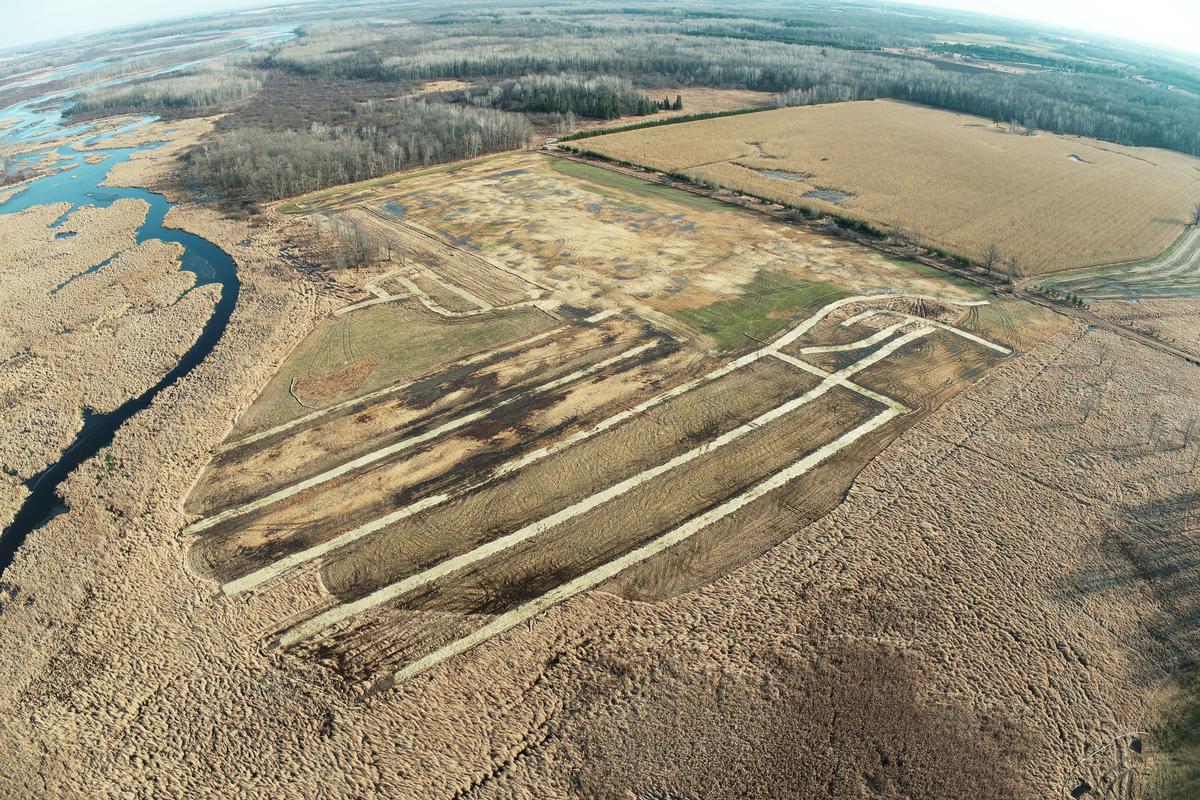
McMillan Marsh Wetland Mitigation - Drone As-Constructed Data - Marathon County, Wi

General Information

Becher Hoppe was contracted by a construction company out of Denver, Colorado to collect as-constructed elevation field data and aerial photography for the use in record drawings of the McMillan Mash, located near Spencer, Wisconsin.  Becher Hoppe worked closely with the contractor and design firm from Bethel Park, Pennsylvania to meet the sites requirements and develop the deliverables required.  It was determined that the best way to get an accurate Digital Terrain Model of the wet, hard to access, 48 acre site was to fly it with drone.

Services Provided

  • Ground Control Points – Also known as GCPs were set prior to flight by our survey team to validate and confirm the digital terrain model generated from aerial drone data.
  • Topographic Survey – Raw data was collected of the site utilizing a drone equipped with real time kinematic (RTK) GPS equipment.  A digital terrain model was then generated utilizing the corrected GPS images and photogrammetry.
  • Ortho Imagery – Along with the digital terrain model, the team was also able to generate a current othro rectified aerial of the site that aided in the construction documentation process.
  • Oblique Photography – Oblique photos provided and unique and valuable perspective when analyzing existing data and observing the changes made to the site.  These photos proved value in documentation and reporting over the large site.